- Plan around
- Chosen approach and return
- Verify
- Current access and facilities
- Visit style
- A focused stop or linked outing
Choose an approved approach
The City describes a roughly one-kilometre path around Beaver Lake; reaching it adds distance. Locate the lake and trail connections on the official map. Choose a named route rather than following the shortest-looking line through the forest. Your total outing includes the approach from transport and the return, not just time by the lake.
Check surfaces gradients and conditions
Check trail information and recent closures. Surfaces and gradients matter, especially after wet weather. Use the City’s access information as a starting point and verify any particular requirements; this guide does not provide new field measurements.
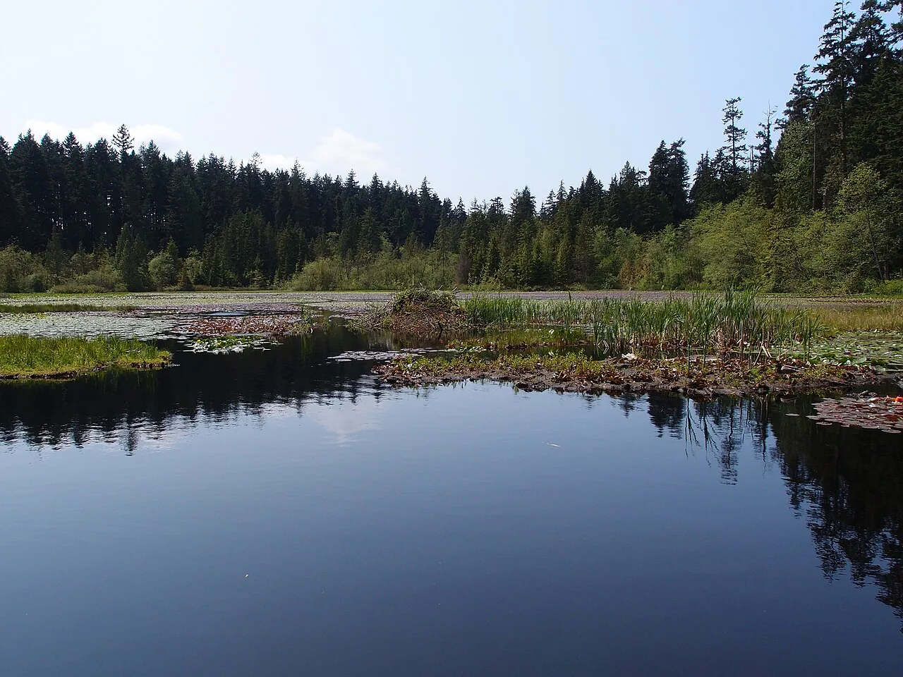
Respect the wetland environment
Treat the surrounding habitat as part of the visit. Remain on permitted paths, give wildlife room and avoid disturbing vegetation or shore edges. Do not expect guaranteed wildlife sightings or use food to attract animals.
Connect to a suitable forest route
Take a map and drinking water, and decide where to turn back if the outing is taking longer than expected. A forest visit can stand alone; it does not need a full seawall circuit added to feel complete.